
Wood-Lynne 🇺🇸
-
Nautical Twilight begins:04:57 amSunrise:06:02 am
-
Sunset:07:53 pmNautical Twilight ends:08:58 pm
-
Moonrise:01:06 am
-
Moonset:09:54 am
-
Moon over:05:30 am
-
Moon under:05:55 pm
-
Visibility:70%
-
 Waning Gibbous
-
Distance to earth:375,193 kmProximity:71.6 %
Moon Phases for Wood-Lynne
-
poor Day
-
minor Time:12:06 am - 02:06 am
-
major Time:04:30 am - 06:30 am
-
minor Time:08:54 am - 10:54 am
-
major Time:04:55 pm - 06:55 pm
Tide Clock
Tide Graph
Times
| Tide | Time | Height |
|---|---|---|
| low | 12:24 am | 1.08 ft |
| high | 05:50 am | 6.76 ft |
| low | 01:24 pm | 0.92 ft |
| high | 06:47 pm | 5.51 ft |
| Date | Major Bite Times | Minor Bite Times | Sun | Moon | Moonphase | Tide Times |
|---|---|---|---|---|---|---|
|
Mon, 29 Apr
|
04:30 am -
06:30 am
04:55 pm -
06:55 pm
|
12:06 am -
02:06 am
08:54 am -
10:54 am
|
R: 06:02 am S: 07:53 pm |
R: 01:06 am S: 09:54 am |
Waning Gibbous |
low: 12:24 am
, 1.08 ft
high: 05:50 am
, 6.76 ft
, Coeff: 124
low: 01:24 pm
, 0.92 ft
high: 06:47 pm
, 5.51 ft
, Coeff: 86
|
|
Tue, 30 Apr
|
05:29 am -
07:29 am
05:49 pm -
07:49 pm
|
12:55 am -
02:55 am
10:03 am -
12:03 pm
|
R: 06:01 am S: 07:54 pm |
R: 01:55 am S: 11:03 am |
Third Quarter Moon |
low: 01:17 am
, 1.05 ft
high: 06:49 am
, 6.69 ft
, Coeff: 122
low: 02:17 pm
, 0.92 ft
high: 07:45 pm
, 5.58 ft
, Coeff: 88
|
|
Wed, 01 May
|
06:25 am -
08:25 am
06:42 pm -
08:42 pm
|
01:34 am -
03:34 am
11:17 am -
01:17 pm
|
R: 05:59 am S: 07:55 pm |
R: 02:34 am S: 12:17 pm |
Third Quarter Moon |
low: 02:17 am
, 1.05 ft
high: 07:55 am
, 6.63 ft
, Coeff: 120
low: 03:13 pm
, 0.89 ft
high: 08:45 pm
, 5.77 ft
, Coeff: 94
|
|
Thu, 02 May
|
07:20 am -
09:20 am
07:34 pm -
09:34 pm
|
02:08 am -
04:08 am
12:33 pm -
02:33 pm
|
R: 05:58 am S: 07:56 pm |
R: 03:08 am S: 01:33 pm |
Third Quarter Moon |
low: 03:20 am
, 1.02 ft
high: 09:00 am
, 6.63 ft
, Coeff: 120
low: 04:10 pm
, 0.82 ft
high: 09:44 pm
, 6.07 ft
, Coeff: 103
|
|
Fri, 03 May
|
08:12 am -
10:12 am
08:25 pm -
10:25 pm
|
02:36 am -
04:36 am
01:48 pm -
03:48 pm
|
R: 05:57 am S: 07:57 pm |
R: 03:36 am S: 02:48 pm |
Waning Crescent |
low: 04:25 am
, 0.92 ft
high: 10:03 am
, 6.63 ft
, Coeff: 120
low: 05:06 pm
, 0.69 ft
high: 10:42 pm
, 6.43 ft
, Coeff: 114
|
|
Sat, 04 May
|
09:02 am -
11:02 am
09:14 pm -
11:14 pm
|
03:02 am -
05:02 am
03:03 pm -
05:03 pm
|
R: 05:56 am S: 07:58 pm |
R: 04:02 am S: 04:03 pm |
Waning Crescent |
low: 05:28 am
, 0.75 ft
high: 11:03 am
, 6.66 ft
, Coeff: 121
low: 06:00 pm
, 0.59 ft
high: 11:36 pm
, 6.82 ft
, Coeff: 126
|
|
Sun, 05 May
|
09:52 am -
11:52 am
10:05 pm -
12:05 am
|
03:26 am -
05:26 am
04:18 pm -
06:18 pm
|
R: 05:55 am S: 07:59 pm |
R: 04:26 am S: 05:18 pm |
Waning Crescent |
low: 06:28 am
, 0.56 ft
high: 11:59 am
, 6.69 ft
, Coeff: 122
low: 06:53 pm
, 0.49 ft
|


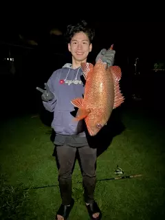
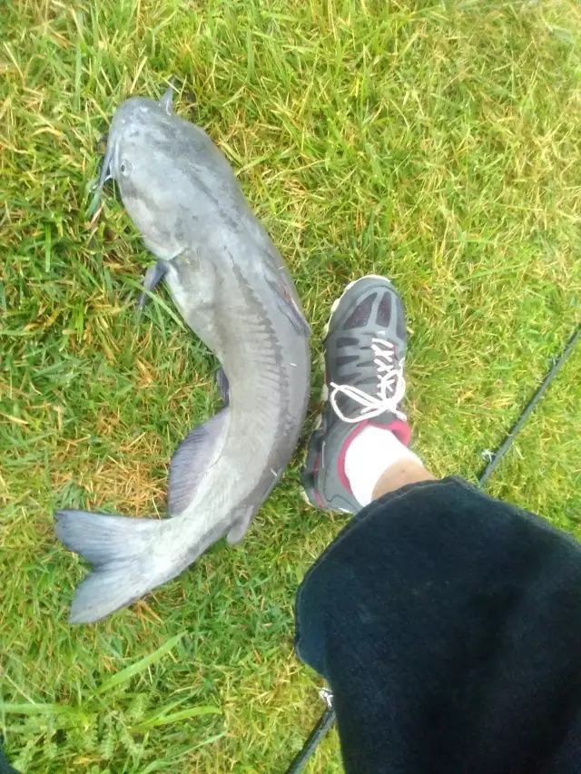
uploaded by: Mr.Chow
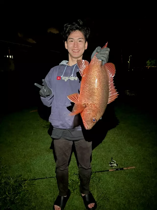
uploaded by: Mr.Chow
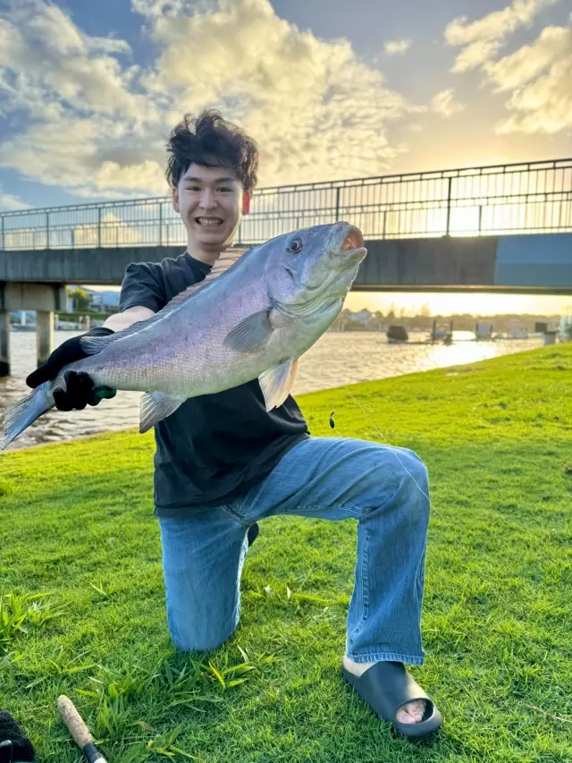
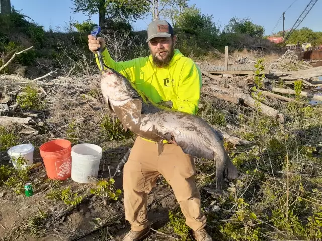
uploaded by: Chadderikk

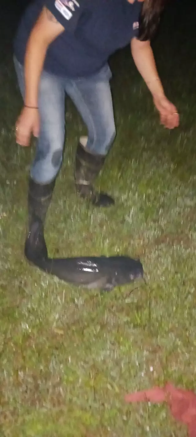
uploaded by: Mike Brooks (Savage)
uploaded by: Mike Brooks (Savage)
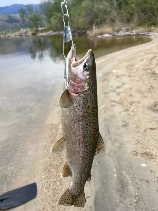
uploaded by: Terry Foster
uploaded by: Doug Parr
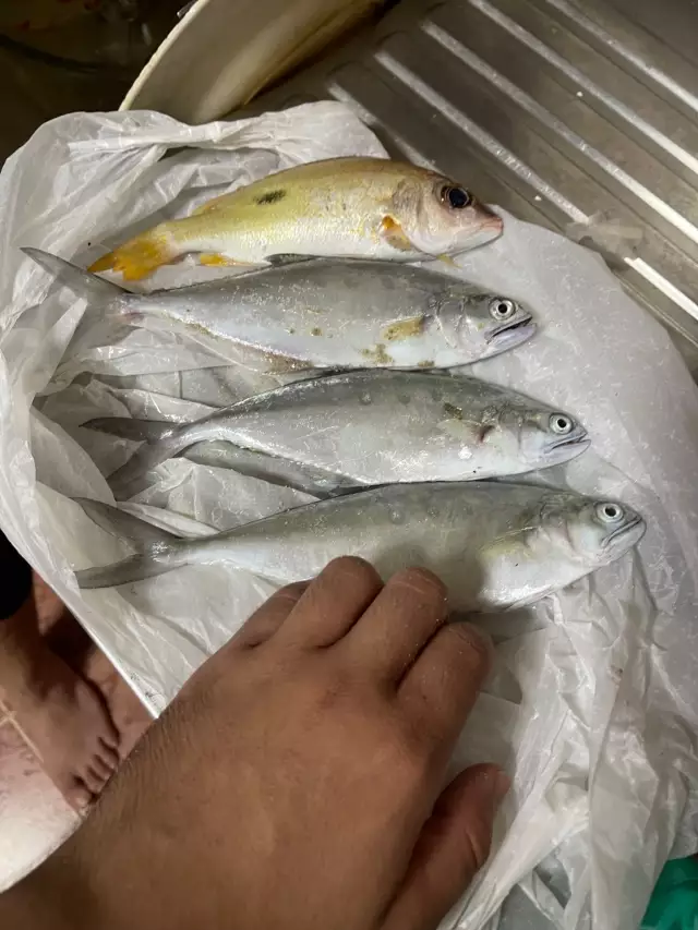
uploaded by: Ahmed Elbasha
uploaded by: Hoza
uploaded by: PT Edward fisher
Best Fishing Spots in the greater Wood-Lynne area
We found a total of 99 potential fishing spots nearby Wood-Lynne. Below you can find them organized on a map. Points, Headlands, Reefs, Islands, Channels, etc can all be productive fishing spots. As these are user submitted spots, there might be some errors in the exact location. You also need to cross check local fishing regulations. Some of the spots might be in or around marine reserves or other locations that cannot be fished. If you click on a location marker it will bring up some details and a quick link to google search, satellite maps and fishing times. Tip: Click/Tap on a new area to load more fishing spots.
Cooper River Parkway Dam - 1km , Newton Lake - 2km , Cooper River Lake - 3km , Kaighn Point - 3km , Village Dock Lake Dam - 3km , Whitman Bridge - 3km , Walt Whitman Bridge - 3km , Gloucester Point - 4km , Haddon Lake Dam - 4km , Greenwich Point - 4km , Smith Island (historical) - 4km , Wind Mill Island (historical) - 4km , Windy Point - 4km , Betsy Ross Fixed Bridge - 5km , Cooper Point - 5km , Franklin Bridge - 5km , Petty Island - 5km , Benjamin Franklin Bridge - 5km , Camden and Petty Island Bridge - 6km , Lake Martha - 6km , Greenwich Island - 6km , Eagle Point - 7km , Evans Pond Dam - 7km , Fisher Point - 7km , Meadow Lake - 7km , Howell Cove - 7km , Runnemede Lake - 8km , Betsy Ross Bridge - 8km , Fivemile Point - 8km , Reserve Basin - 8km , Fairmount Dam - 9km , Girard Point - 9km , Point Breeze - 9km , University Avenue Bridge - 9km , Girard Point Bridge - 9km , Woodbury Creek Dam - 10km , Red Bridge - 10km , Washington Point Neck - 10km , White Bridge - 10km , Gibson Point - 10km , Girard Bridge - 10km , Harkness Point - 10km , Yankee Point - 10km , Girard Avenue Bridge - 10km , Platt Memorial Bridge - 10km , Almonesson Lake Dam - 11km , Bell Lake - 11km , Pa-237 Dam - 11km , Tacony-Palmyra Bridge - 11km , Debris Dam - 11km , Glen Lake - 12km , Kirkwood Lake Dam - 12km , Main Ditch - 12km , Strawbridge Lake Upper Dam - 12km , Centennial Lake - 12km , Columbia Bridge - 12km , Province Island - 12km , Strawberry Bridge - 12km , Eightmile Point - 12km , Blackwood Lake Dam - 13km , Laurel Lake - 13km , Laurel Springs Dam - 13km , Concourse Lake - 13km , Hog Island - 13km , Falls Bridge - 13km , Hidden Lake - 14km , Linden Lake - 14km , Lodge Point - 14km , Silver Lake - 14km , Calcon Hook (historical) - 14km , Tinicum Island (historical) - 14km , Riverton Cove - 14km , Gustine Lake - 14km , Ten Mile Point - 14km , Pencoyd Bridge - 14km , Bottom Lake - 15km , Clement Lake - 15km , Comeys Lake - 15km , Edgewood Lake - 15km , Grenloch Lake Dam - 15km , Pine Lake - 15km , Big Thoroughfare - 15km , Hay Island - 15km , Little Thoroughfare - 15km , Millbourne Dam - 15km , Smith Island - 15km , Wright Cove - 15km , Wright Point - 15km , Henry Avenue Bridge - 15km , Cedar Lake Dam - 16km , Clementon Lake Dam - 16km , Greenes Lake - 16km , Jaggards Pond Dam - 16km , Kresson Lake - 16km , Lion Lake - 16km , Rowand Lake - 16km , Watson Lake - 16km , Woodland Lake - 16km , Naylors Run Dam - 16km
Comments